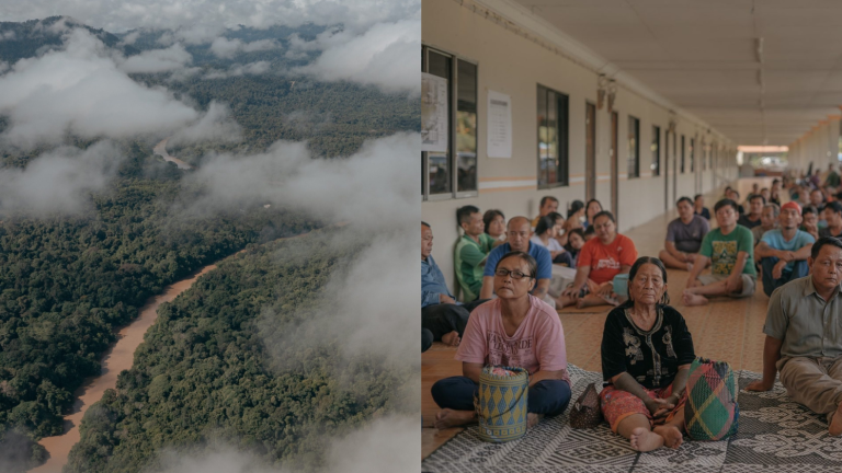
Nonprofit organizations in Borneo are training Indigenous communities to formally establish their native land rights in order to protect their local areas from such encroachment. But first, they need to demarcate which land is theirs. To do so, they are turning to mapping technologies such as GPS and geographic information systems (GIS), and in some cases drone photography, to document their native land. Once it has been sufficiently mapped, they can apply to have their land be legally recognized as protected native land, and fight against illegal intrusions by logging and plantation companies in court. Without that protection, these communities face displacement, destruction of their homes, and a loss of their cultural identity.
You must log in or register to comment.