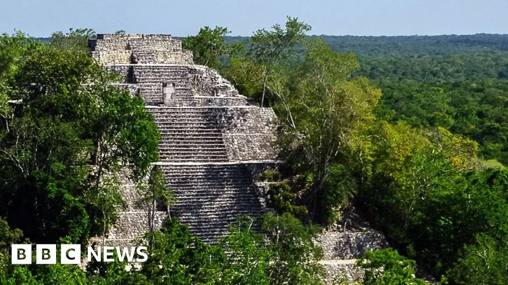
“I was on something like page 16 of Google search and found a laser survey done by a Mexican organisation for environmental monitoring,” explains Luke Auld-Thomas, a PhD student at Tulane university in the US.
It was a Lidar survey, a remote sensing technique which fires thousands of laser pulses from a plane and maps objects below using the time the signal takes to return.
But when Mr Auld-Thomas processed the data with methods used by archaeologists, he saw what others had missed - a huge ancient city which may have been home to 30-50,000 people at its peak from 750 to 850 AD.
I’m not reading the whole article but I wanted to see pictures. They have a picture with this caption: There are no pictures of the city but it had pyramid temples similar to this one in nearby Calakmul
How do archaeologists use lidar data? Like is there some software they slap it into and it reveals these hidden signs?
They probably run some algorithms to look for straight lines and right angles to identify man made structure vs natural features.
Probably looking for different signatures than other surveyors do


