
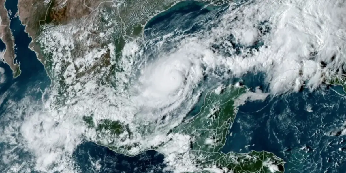
Hurricane Milton was moving “erratically” through the Gulf of Mexico toward Florida on Monday, the US National Hurricane Center said, warning it will likely soon become a major hurricane.
It was just announced as a category 5 hurricane. Wednesday is gonna suck.
I heard that on NPR this morning and went to NOAA to check the updated forecast. The wind chart went from, “that’s not going to be fun”, to, “leave the area as soon as possible, no matter when your house was built or how hurricane resistant it’s marketed to be.”
The storm surge is predicted at 3-4 meters right now but if the updated wind is correct that’s going to go up. And if it tracks to Tampa or slightly north then Tampa Bay is going to amplify the effect. That plus tides and waves means the water will easily reach 5-6 meter peaks and the waves are going to batter everything in their path.
Looks like it’s gonna be basically tied for the record of highest windspeeds at landfall if you count it’s course over Mexico as landfall. With these rapidly intensifying storms forming right off the coast, it’s gonna be harder to flee in time…
We’d be stupid to include only effects on our territory. That creates a false narrative. You know what scares me? Milton formed it’s tropical depression in the western gulf, which isn’t unheard of but doesn’t happen too often. Then it turned the wrong way. Tropical storms and hurricanes from the gulf generally go north before going east. Have we screwed the air and water currents so badly that storms are no longer on reliable tracks?
I meant if its not counted because the eye doesn’t technically cross the land in a lot of the projections… irrelevant to those directly next to the eye along the coast, but possibly a technicality to not count it.
Today is gonna suck for Mexico