
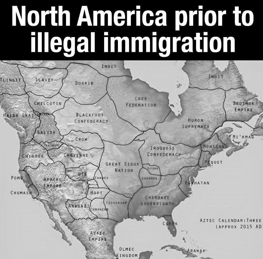
late edit: DISCLAIMER: The pictured map is not actually a representation of the territories before colonisation. It’s a hypothetical map of what countries there might have been had the continent not been colonised, thus all the names and borders are fictional and have never existed.
For good actual maps, check out native-land.ca.
I also don’t recall there being lines
If you see the lines as approximations, I’m fine with it. There were no borders in the sense that nation states have them today of cause.
i mean a trivial solution to this is to just use colours with a soft gradient at the edges, you have a rough outline but it’s clear that there is no hard border
Sure. It’s a weird concept seeing these ancient people organized with modern standards in a map like this. I’m sure it would have seemed bizarre to them too.
Now show me a map of their power grid. Or wealth inequality. Etc
You want a GDP map of pre-contact America?
But seriously: don’t call them ancient. That compares them to the ancient people of the old world which they are not. They have a unique history. Call them pre-contact or pre-colonialism or pre-Columbus or something next time
Don’t call them people of the old world. That implies the world is only thousands of years old, which it is not.
Bla bla bla words